User Question: How to Add a State Border to a Zip Code Map?
A user recently asked me how to add a state outline to a Zip Code map. Consider this map, which shows the percent white of each Zip Code Tabulated Area (ZCTA) in New York and New Jersey: Clearly the ZCTAs in northern New York have the highest concentration of white residents. However, it would still […]
Continue readingNew Lesson: Mapping Historic Census Data in R
Today I am happy to announce a new lesson for my free email course Learn to Map Census Data in R. This lesson explains how to get and map historic census data in R. While I had intended this lesson to only go to new signups, it looks like my email provider sent it (along […]
Continue readingFree R Help
Today I am giving away 10 sessions of free, online, one-on-one R help. My hope is to get a better understanding of how my readers use R, and the issues they face when working on their own projects. The sessions will be over the next two weeks, online and 30-60 minutes each. I just purchased Screenhero, […]
Continue readingNew release: Choroplethr v3.2.0
Today I am happy to announce that a new version of choroplethr, v3.2.0, is now available. You can get it by typing the following from an R console: install.packages(“choroplethr”) Note that it sometimes takes a few days for new packages to get copied to each CRAN mirror. If install.packages(“choroplethr”) only gets you version 3.1.0, please try again tomorrow. […]
Continue readingHow to Remove State Abbreviations from a Choroplethr Map
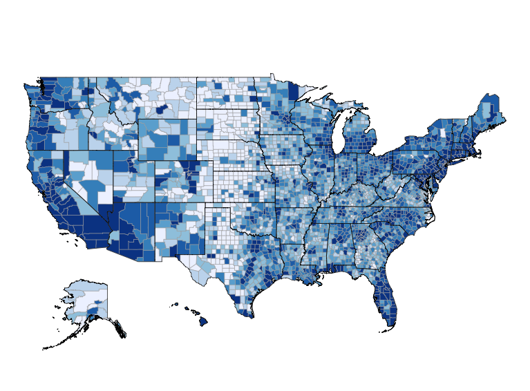
Today I will demonstrate how to remove state abbreviations from a choroplethr map. I will also demonstrate how to combine multiple maps into a single image. This is what the final image looks like: In this case the abbreviations obscure information for the northeast part of the country, so it’s useful to remove them. Step […]
Continue reading