Tag Archives for " R "
Announcing the R Shapefile Contest
Today I am happy to announce the R Shapefile Contest. The goal of the contest is to encourage and promote high quality work at the intersection of R and GIS (Geographic Information Systems). The winner of the contest will: Get featured prominently on my blog Get a free copy of my course Mapmaking in R with […]
Continue readingCase Study: Customized R Training and a “Day 1” Curriculum
Earlier this year I had the honor of training the research division of a financial services firm in R. I’ve been meaning to write a case study on this project for a while, but have put it off due to the size and complexity of the engagement. In this post I’ll limit myself to talking about […]
Continue readingNew Facebook Group: “R, Maps and Open Data”
Today I am happy to announce a new Facebook group: R, Maps and Open Data. If you like this blog, then you should join this group! It’s free to join. This is my first time creating a Facebook group, and I am viewing it as both an experiment and an outgrowth of this blog. Here […]
Continue readingAnalyzing Public Health Data in R
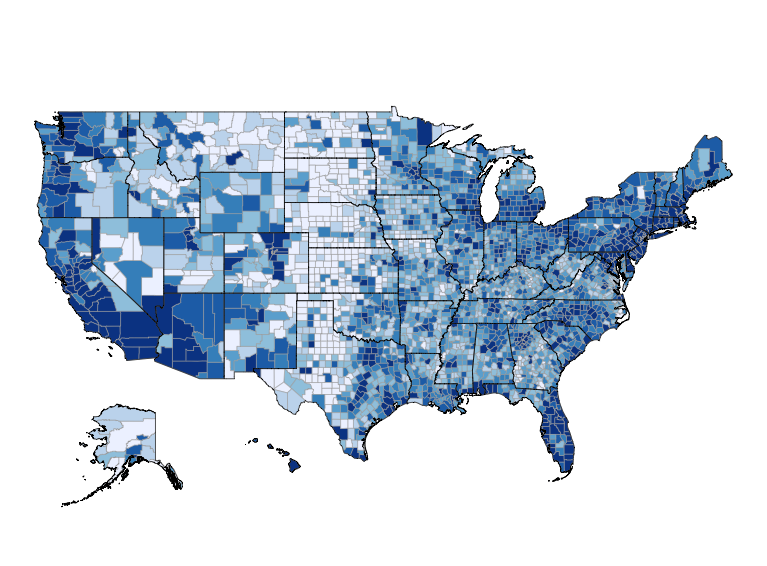
Today’s post is by Thomas Yokota, an epidemiologist in Hawaii. I’ve been corresponding with Thomas via email and telephone for a while. I asked Thomas if he could write an introduction to how R, mapping and open data are used in the public health community. This is his reply. [content_upgrade cu_id=”2764″]Bonus: Download the code from this post![content_upgrade_button]Click […]
Continue readingidbr: access the US Census Bureau International Data Base in R
Today’s post is by Kyle Walker, a professor of geography at Texas Christian University. I’ve been a fan of Kyle’s work for a while. When I saw that he wrote a package for accessing the Census Bureau’s International Data Base, I asked him to write a guest post about it. The US Census Bureau’s International […]
Continue reading