All posts by Ari Lamstein
Mapping Birds with Choroplethr
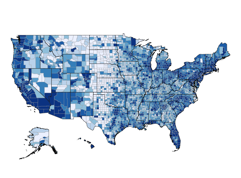
After releasing my course Mapmaking in R with Choroplethr last December I received an interesting email from Dr. Herb Wilson, a biologist at Colby College. Herb studies the Red-breasted Nuthatch, which live throughout the United States and Canada. He asked if it was possible to use choroplethr to map the location of these birds. Herb’s data was […]
Continue readingTaking the Next Step with Census Data
Today I had the pleasure of speaking over the phone with someone from the Census Bureau. This was my first time speaking with someone who works there, and it was fun to move from thinking of the Census Bureau as “a government agency” to “a place where someone I know works.” The Questions The conversation revolved around […]
Continue readingVisualizing Census Estimate Margins of Error in R
A key feature of American Community Survey (ACS) data is that the reported values contain both estimates and margins of error. The margins of error, unfortunately, are often overlooked. After meeting with Ezra Glenn last year I gained a new appreciation of them. Today I’ll demonstrate how to visualize them, as well as how they tend to […]
Continue readingCombining Admin 1 Choropleths and Reference Maps
A new version of choroplethr (v3.4.0) is now on CRAN. It allows you to combine Administrative Level 1 choropleths with reference maps. For reference, this functionality has been present for US maps for a while now (1, 2). This update just extends that functionality to the Administrative Level 1 mapping function, admin1_choropleth. To do this, […]
Continue readingFaster Admin 1 Maps in Choroplethr
A new version of ChoroplethrAdmin1 is now on CRAN, and it dramatically speeds up making Administrative Level 1 maps in choroplethr. “Administrative Level 1” is just a generic term for “1st subnational division”. In the US this is called a State, in Canada it’s called a Province, and so on. Overall, this package contains Admin […]
Continue reading