Tag Archives for " R "
New Course: “Shapefiles for R Programmers”
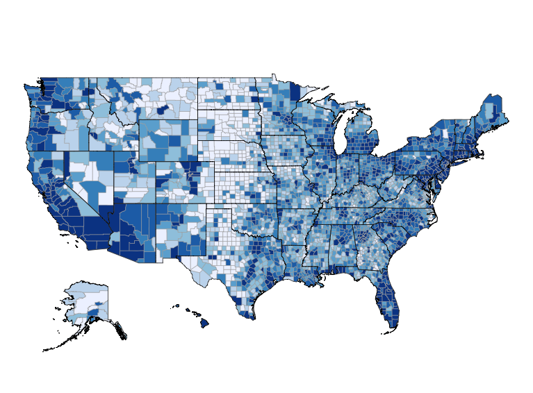
Today my new course, Shapefiles for R Programmers, is available for preorder! This course is designed to open up new doors of data analysis for R programmers by teaching them how to work with shapefiles, using both GIS programs and R. Shapefiles are the most common method of storing maps, and learning how to work […]
Continue readingA Tale of Two Bugs
Today I am happy to announce that a new version of choroplethr is now on CRAN. To get it type the following: The new version is 3.5.2. This version fixes two fairly pernicious bugs that were introduced in the last update to choroplethr. For reference, he is a detailed description of the bugs and their […]
Continue readingAnnouncing the R Election Analysis Contest
Today I am happy to announce the R Election Analysis Contest. The goal of the contest is to encourage and promote high quality reproducible research in R that focuses on elections. The winner will be featured on my blog and receive a free copy of my course Mapmaking in R with Choroplethr as well as a […]
Continue readingMapping Election Results with R and Choroplethr
Today’s guest post is by R. Duncan McIntosh. Last week Duncan tweeted about using choroplethr to map the 2016 Florida primary election results. I’ve been wanting to analyze election results in R for some time, and asked Duncan to share with my readers how he did his analysis. This is his reply. Election season is providing plenty […]
Continue readingMargin of Error by Geography in the American Community Survey (ACS)
Today I will demonstrate how the margin of error in American Community Survey (ACS) estimates grow as the size of the geography decreases. The final chart that we’ll create is this: The way I interpret the above chart is this: The ACS is very confident about its state-level estimates. It’s a bit less confident about county-level estimates. But […]
Continue reading